
Pilot Insights | From Detection to Prediction: What It Takes to Build AI for Wildfires in Latin America
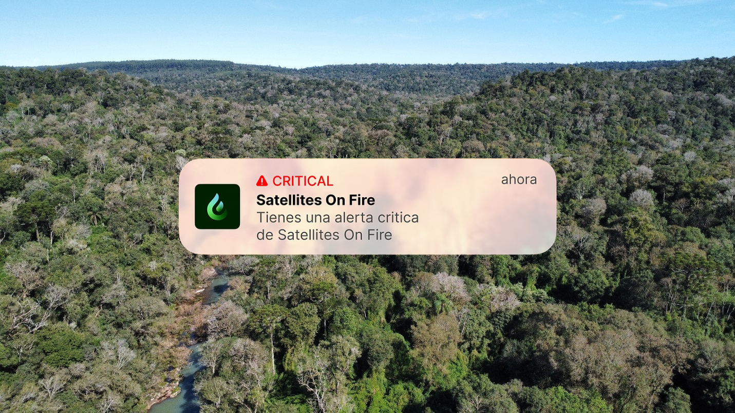
Satellites on Fire combines satellite imagery and AI-powered alerts to help teams detect and respond to wildfires earlier.
By Maria Paula Gomez, Prosper Global Ventures and Ignacio Martinez, Satellites on Fire | September 2026
A wildfire breaks out in Argentina in the middle of the night. Within minutes, Satellites on Fire (SoF) sends an alert to fire stations and forestry companies across the region, on average 35 minutes before NASA's system detects the same fire. For the teams on the ground, that window is the difference between containment and catastrophe.
SoF has been solving the detection problem for four years. Their platform aggregates imagery from over ten satellites, updated as frequently as every five minutes, and today serves more than 55,000 users across 21 countries, from national parks and fire stations to forestry companies and indigenous communities. But detection, knowing a fire exists, is only part of what clients need.
The question they kept asking was harder: where is it going?
That is what our pilot set out to answer. Over the past year, we partnered with SoF to build and integrate a fire spread prediction tool specifically built for the Latin American ecosystem. We set out to test three things: whether better prediction tools could speed up fire response, whether they could help reduce damage to communities and ecosystems, and whether clients would adopt them. What we found was that bringing powerful AI to a new geography is far harder, and more interesting than simply running a model.
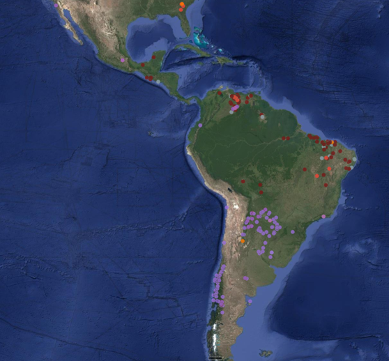
SoF's monitored territory across Latin America
The Pilot
Knowing a fire has started and knowing where it will spread are two different problems. Detection is fast and binary. A satellite picks up a heat signature and sends an alert. Prediction is slow and uncertain; it requires understanding how terrain channels a fire uphill, how wind shifts push it sideways, how dry grassland burns differently than subtropical forest. Even the best research teams in North America and Europe describe fire spread prediction as years-long work.
Latin America adds another layer of difficulty. Around 95% of fires in Argentina are human caused, intentional or accidental, and tend to be numerous and scattered rather than the single catastrophic fronts that dominate headlines elsewhere. The ecosystems are different; the historical data needed to train AI models is thin, and; tools built for other fire environments simply do not transfer.
SoF's first instinct was to build a prediction model from scratch. They quickly realized that was the wrong approach. Proven fire simulation tools already exist, particularly in North America. The smarter path was to take one of those tools and adapt it.
Adapting these models turned out to be challenging. The existing model classified fuel types based on Canadian forests. Argentine grasslands, subtropical jungle, and mixed terrain didn't fit those categories. SoF rebuilt the model's understanding of local landscapes from the ground up, mapping real-time satellite land cover data to the simulation engine, integrating local weather feeds, and incorporating a drying index specific to the Argentine fire season. They also built the entire data pipeline in-house, giving the system the speed it needed to run in real time.
The pilot launched with a specific geography in mind: Misiones, in northeastern Argentina, covering 24,000 hectares, including the Mbya Guaraní community of Alecrín. But as the model took shape, SoF's existing clients started asking for access before it was officially ready. Forestry companies, fire stations, and agricultural operators were already relying on SoF daily for detection, and they wanted prediction as part of the same workflow. That demand changed the scope of the pilot. By the end of the pilot, the prediction tool had been integrated across SoF's broader client base and was covering over 40 million hectares across Latin America.
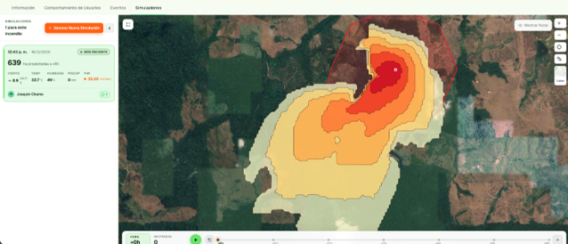
Fire spread prediction interface
What We Found
On our first hypothesis — can better prediction tools speed up response? — the answer is yes. The time it takes SoF to generate a fire spread prediction once a fire is detected dropped from six minutes at the start of the pilot to two minutes by the end. The model's predicted fire perimeters also went from being far off the mark (2% overlap with the actual fire path) to closer matching real burn areas (20% overlap). That trajectory, achieved in under twelve months, is meaningful in a field where comparable accuracy takes years to develop.
On our second hypothesis — can prediction reduce ecological and economic damage? — the pilot was too short and the fires in Misiones were too small to measure impact directly. What we saw instead was demand: existing detection clients asked for access to the prediction tool before it was formally ready, and it was rolled out across the platform’s coverage footprint, which now covers over 40 million hectares. Clients are beginning to fold this tool into how they respond to fires.
On our third hypothesis — will clients adopt it? — the evidence is strong. Average contract sizes grew by nearly 50% over the course of the pilot. Customer satisfaction scores came in at 8.5 out of 10. And the platform was involved in the response to more than 600 wildfires in 2025 alone. One of our most important findings here was that clients value the full package, not prediction in isolation. Early alerts, multi-device notifications, and spread simulation together are what make the platform indispensable.
The most important test came from the field. In the final phase of the pilot, SoF stress-tested the full platform with one of Argentina's largest forestry companies. The process exposed problems the lab hadn't caught such as gaps in satellite coverage due to cloud cover in Patagonia and edge cases in the alert pipeline. These are issues that only surface when real clients use a system under real conditions. SoF fixed them. The process also produced improvements to their core alert system that now benefits all their clients.
They also worked with Argentina's national parks. There, the park rangers and fire ecologists with decades of field experience were skeptical of AI predictions. SoF didn't try to replace that expertise. They began working alongside these teams to gather feedback and improve the model.
"With Satellites on Fire, we arrive approximately one hour before NASA's system. It gave us 24-hour coverage we didn't have before, especially at night. It allows us to better plan our response to the fire, understand how serious the situation may be, and optimize our resources." — Pomera Maderas
What This Means
In April 2026, SoF closed a $2.7 million seed round led by Dalus Capital, with participation from Draper Associates and more than ten other investors. The round was oversubscribed. Aon now lists SoF as a risk mitigator across all its Latin American forestry insurance policies. These are not outcomes that follow from a single pilot. They are the product of four years of building, a growing client base, and a team that has consistently expanded what the platform can do. The pilot contributed one piece: it funded the hard foundational work of building prediction infrastructure that clients were asking for but that no one in the region had yet built.
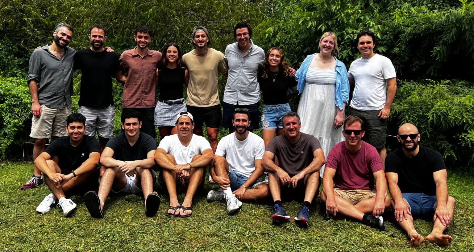
The Satellites on Fire team
This pilot sits within a broader set of bets we have been making on AI-powered tools for disaster early warning and climate resilience — alongside Floodbase on parametric flood insurance, Resilience AI on hyperlocal climate risk assessment, and Innterra and Tecde on tools that bring real-time weather data to farmers. The pattern across all of them is similar.
AI models built for one context do not simply transfer to another. The technology may be proven. But making it work requires local data, local calibration, and local trust. That process is not glamorous. It involves rethinking how a model built for Canadian forests reads Argentine grassland, stress-testing a platform until it breaks, and earning the confidence of fire ecologists who have spent decades watching fires move. It is also exactly the kind of work that catalytic funding is designed to support.
Argentina experienced its worst wildfire season in three decades in early 2025. A year later, another major outbreak in Patagonia triggered an international emergency response. The SoF team was responding to active fires while building the tools to predict them. The fires aren't slowing down. But for the first time in Latin America, some of the tools fighting back can tell you not just where a fire is, but where it's going.
This pilot was conducted as part of Prosper Global Ventures' Climate Lab AI for Climate Resilience cohort. For more on our portfolio and pilot approach, visit prosperglobalventures.com